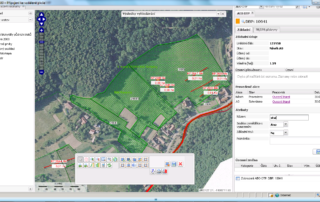
Czech LPIS by Sitewell
The Czech LPIS project represents a new philosophy in the solution of a geographic information system for agricultural parcel identification. Its basic objective is to provide high quality data about the agricultural land use, allowing for a trouble-free administration and control of agricultural aid applications. Czech LPIS is based on a seamless central database on the Oracle Spatial platform, updated on-line in real time over a virtual secure network. 4D …

